lovethailand home >North Travel Attractions >Chiang Mai Travel Attractions >Hot >Bo Sali > Mae Tho Royal Project Development Center
TL;DR: Mae Tho Royal Project Development Center, Chiang Mai attractions : Research and Development, Royal Project.

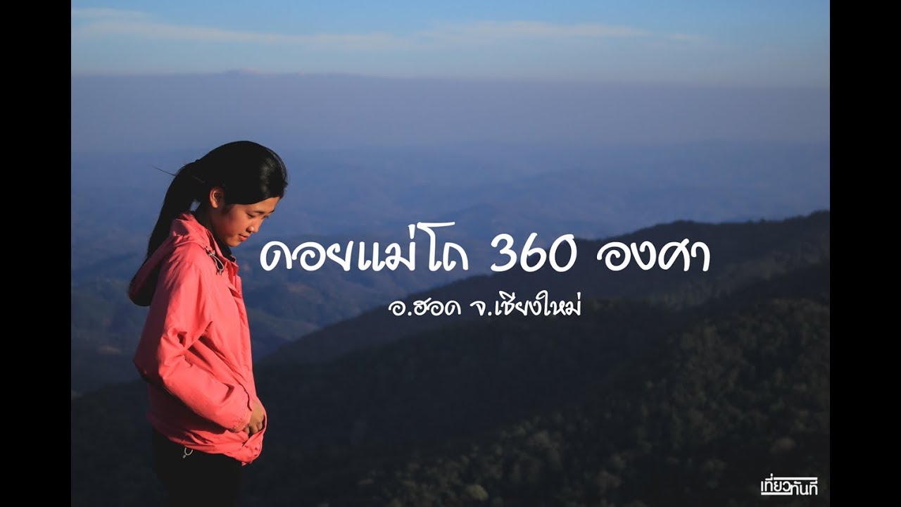
Mae Tho Royal Project Development Center

Open Days: Recommended to contact/arrange an appointment in advance (this is an operational area of the Royal Project Foundation)
Opening Hours: Recommended 08.30–16.30 (hours may change depending on field operations/season; please check before you go)
Mae Tho Royal Project Development Center is a great fit for anyone looking for a truly quiet “Chiang Mai getaway” and wanting to see real highland development work rather than ticking off famous check-in spots. The heart of Mae Tho isn’t a staged tourist set—it’s a working area of the Royal Project and Royal Initiative approach, focused on creating sustainable livelihoods for communities, easing pressure on forests and headwaters, and gradually helping mountain living become more secure over the long term.
The earlier context of Ban Mae Tho reflected a classic highland challenge: some Hmong and Karen communities relied on opium cultivation and shifting cultivation, driven by economic constraints and limited livelihood options. When poverty forces people to chase yields, forests and soil can become overused without anyone intending harm. Establishing the center in 1996 therefore became a milestone of “alternative agriculture” that supports income without trading away natural resources, alongside efforts to reduce chemical use in key crops such as cabbage, so that the local food system and community health can improve together.
The Mae Tho Royal Project Development Center area is characterized by complex mountain ranges stretching north–south, at an elevation of roughly 800–1,200 meters above sea level. This generally brings cooler conditions than the lowlands, and the average temperature is often cited at around 19.5°C. The center’s responsibility area is about 85.49 square kilometers (around 53,433.59 rai), covering a total of 4 villages across Hot District and Mae Chaem District, with approximately 792 households. This overview helps clarify that the “center” is primarily a working platform for improving quality of life and managing resources—not a tourist site designed mainly around traveler services.
If you view Mae Tho as an agritourism trip, what makes it enjoyable is seeing a “real production system” tied directly to farmers’ incomes. You may encounter promoted vegetable plots such as cabbage, sweet Chinese mustard, baby bok choy, cos lettuce, red coral lettuce, red oak leaf, red amaranth, and many others, including bamboo-structure greenhouses that help make plot management more systematic and reduce risk from volatile weather. There are also promoted fruit plots such as avocado, persimmon, black mulberry, cape gooseberry, and even alstroemeria flower plots that add income diversity for highland households.
The cultural dimension is another reason the visit can feel more meaningful. Mae Tho includes both Hmong communities and Karen (Pgakanyaw) communities, each with their own rhythms and traditions. A well-known period is the Hmong New Year (Kin Wor), often around January, when people wear traditional attire and community activities become lively in their own distinctive way. Another is the Pgakanyaw “new rice” tradition, often around October–November after harvest, expressing gratitude to nature and reaffirming the bond with rice as the foundation of life. Visiting during festival periods can show you a “living community” in motion, but it’s best approached with respect: ask permission before taking photos and avoid disturbing ceremonies.
On the nature side, Mae Tho offers viewpoints and routes that invite you to “pause and breathe deeply”—especially the Doi Mae Tho viewpoint area within Mae Tho National Park, where winter mornings often bring beautiful seas of mist over ridgelines and wide forest landscapes. There is also the “Pha Bo Lek” viewpoint, described as a cliff about 50 meters high and commonly cited as around 3–4 kilometers from the center. In addition, Mae Lit Waterfall (about 12–15 meters wide) and Mae Aep Waterfall (about 10–12 meters wide) round out the nature experience, making it easier to build a complete day trip.
For souvenirs, Mae Tho suits travelers who like buying things with a story. Beyond seasonal farm produce, there are highland handicrafts such as embroidered textiles, woven cloth, and other handmade items that reflect local skills and identity. Supporting these products thoughtfully and fairly helps tourism become a direct economic boost for the area.
For accommodation, the information states the center has 1 guesthouse (2 rooms, about 4 people per room) plus a camping area. Mae Tho National Park also has several guesthouses (total capacity around 40 people) and a camping area often cited as accommodating about 50 tents. This is ideal for anyone who wants to stay overnight to catch morning mist. For food, there is no regular restaurant service inside the center, but meals can be arranged “by agreement” and should be requested in advance before staying. Nearby villages may also have local eateries. Commonly mentioned local-style menu ideas in this zone include bamboo shoot curry and chili paste served with Royal Project vegetables—simple, but very fitting for the highland atmosphere.
Getting There If driving from Chiang Mai city, take Highway 108 (Chiang Mai–Hot) for about 88–89 km to Hot District. Continue on the Hot–Mae Sariang section of Highway 108 for another roughly 54–55 km, then turn right at the Ban Kong Loi junction and head toward Ban Mae Tho via Highway 1270 (Kong Loi–Mae Tho) for about 16 km. This segment is described as laterite/gravel road, and it can be more difficult in the rainy season. Use a well-prepared vehicle, drive slowly, allow extra time, and if rains are heavy, a 4WD will feel more reassuring.
Overall, Mae Tho Royal Project Development Center is a good match for people who want a peaceful break but don’t want the trip to feel “empty.” You get highland agriculture learning, the cultural texture of Hmong–Pgakanyaw communities, and nature elements like mountain views, mist, waterfalls, and cliffs. The key is arriving with respect for the place—then the trip won’t just take you somewhere, it will help you understand mountain life a little more deeply.
| Place Name | Mae Tho Royal Project Development Center |
| Location | Ban Mae Tho area (Hot District / Mae Chaem District, Chiang Mai) |
| Highlights | Highland Royal Project center promoting alternative agriculture and reduced chemical use; vegetable–fruit–flower plots; cultural context of Hmong and Pgakanyaw communities; near natural attractions within the national park zone |
| Period | Center established in 1996 |
| Key Facts | Elevation about 800–1,200 m; responsibility area about 85.49 sq km (53,433.59 rai); covers 4 villages; about 792 households; average temperature cited around 19.5°C |
| Name Origin | “Mae Tho” follows the local place/community name where the center is located |
| Travel | Chiang Mai → Hwy 108 to Hot ~88–89 km → Hwy 108 (Hot–Mae Sariang) ~54–55 km → Ban Kong Loi junction → Hwy 1270 (Kong Loi–Mae Tho) ~16 km (rainy season: allow time; 4WD recommended if heavy rain) |
| Current Status | Development center and learning area of the Royal Project Foundation (recommended to contact before visiting) |
| Contact Number | 085 623 3295 |
| Local Traditions / Rituals | Hmong New Year (Kin Wor) — often around January Pgakanyaw New Rice tradition — often around October–November |
| Nearby Attractions with Distance | Pha Bo Lek viewpoint — approx. 3–4 km (as cited locally) Mae Tho National Park (Doi Mae Tho viewpoint / sea of mist) — same zone (distance depends on internal routes) Mae Lit Waterfall — nature zone in Mae Tho area (distance depends on internal routes) Mae Aep Waterfall — nature zone in Mae Tho area (distance depends on internal routes) National Park access from Ban Kong Loi junction — approx. 13 km (for route planning) |
| Nearby Restaurants | Recommended to ask the center / local accommodation providers before traveling |
| Nearby Accommodations | Center guesthouse — (contact: 085 623 3295) Mae Tho National Park guesthouses + camping area — (please contact in advance before staying) |
| Facilities | Promotion/demonstration plots, bamboo-structure greenhouses (as managed on-site), limited center guesthouse, camping area, national park guesthouses and camping zone |
| Fees | — (accommodation rates/activities/entry conditions may change; please confirm with the center and/or the national park before traveling) |
Frequently Asked Questions (FAQ)
Q: Who is Mae Tho Royal Project Development Center suitable for?
A: It’s suitable for travelers who want a peaceful stay, enjoy learning-focused trips, want to see highland agricultural plots, and prefer nature in the national-park area without rushing.
Q: When is the best chance to see a beautiful sea of mist?
A: Winter mornings are usually the best time to hope for mist, but it depends on daily weather conditions, so checking the forecast before you go is recommended.
Q: What local traditions in Mae Tho are interesting to experience?
A: The Hmong New Year (Kin Wor) is often around January, and the Pgakanyaw New Rice tradition is often around October–November. Actual dates can vary each year, so it’s best to ask the center or the community in advance.
Q: If I want to focus on the agricultural plots, what should I look for?
A: Key highlights are the many cool-climate vegetables, bamboo-structure greenhouse growing, and fruits like avocado and persimmon, plus alstroemeria flower plots—depending on the season and promotion plans.
Q: Is the road to Mae Tho difficult to drive, and what kind of vehicle should I use?
A: The main route is doable, but the Hwy 1270 segment includes gravel/laterite sections and can be slippery or rough in the rainy season. Use a well-prepared vehicle, drive slowly, allow extra time, and if rain is heavy, a 4WD is recommended.
Tel : 053210935
Mobile : 0856233295
![]() Category: ●Research and Development
Category: ●Research and Development
![]() Group: ●Royal Project
Group: ●Royal Project
Last Update : 7 MonthAgo
Mae Tho Royal Project Development Center Map
Recommend


