


")
Rating: 3.8/5 (6 votes)
Bangkok attractions
Attractions in Thailand
Open Days: Daily
Opening Hours: Open all day (public area / surrounding viewpoints)
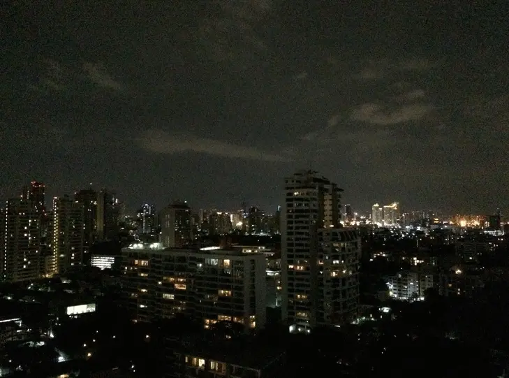
Krung Thon Bridge (Sanghi Bridge) is a bridge that most Bangkok residents use so often they barely notice it anymore. Yet, if you pause and truly observe, it becomes a remarkably sharp lens through which to read the city’s history. It is one of the key infrastructures built during the post-war period, when Bangkok was rapidly expanding and urgently needed additional crossings over the Chao Phraya River to ensure smoother mobility between the two riverbanks. The familiar nickname “Sanghi Bridge” further reflects its distinctly Bangkok character—both an engineering structure and a living part of everyday language.
The core identity of Krung Thon Bridge lies in being a “bridge for real use” rather than a staged landmark. Its multi-span steel structure continuously supports traffic across the Chao Phraya River, while concrete bridge approaches and sidewalks on both sides allow pedestrians to experience the river and the bridge’s form at close range—provided that safety is always prioritized.
From an urban development perspective, Krung Thon Bridge was constructed at a time when Bangkok sought to expand transportation options to relieve congestion on older crossings, especially Phra Phuttha Yodfa Bridge. Its purpose was to enable travel between the Phra Nakhon and Thonburi sides without long detours or traffic bottlenecks. In simple terms, it became a crucial component that allowed everyday life on both sides of the river to move more efficiently.
Another charm of Sanghi Bridge lies in its very “Bangkok-like” surroundings. Nearby are hospitals, educational institutions, residential communities, and riverfront areas that still offer an authentic view of urban life along the Chao Phraya. If you treat the bridge as a starting point for exploration, you can gradually trace the city’s stories from one bank to the other—contrasting old and new buildings, watching boats move along the river, and observing riverside lifestyles that remain deeply connected to the water.
In terms of “traveling with intention,” Krung Thon Bridge is best enjoyed for its atmosphere and for photographing its steel structure against the river, rather than for flashy activities. Early morning or late afternoon provides soft light that highlights the steel framework and adds depth to cityscape photography without heavy editing. For those who enjoy reading the city through its infrastructure, this bridge tells both an engineering story and the narrative of Bangkok’s expansion during the automobile-centered era.
Getting There Krung Thon Bridge can be reached by private car, taxi, ride-hailing apps, or public buses. A practical approach is to get off at a safe nearby location and walk to viewing points, such as riverside parks or walkways. Avoid standing or taking photos in risky areas, as the bridge and its approaches are major traffic zones with continuous vehicle flow.
For a more complete trip, Krung Thon Bridge works well as a connector to riverside neighborhoods on both the Thonburi and Phra Nakhon sides, where temples, museums, markets, and cafés are easily accessible. This way, visiting the bridge goes beyond taking photos and becomes an opportunity to understand how Bangkok has grown through managing the relationship between roads and the river.
| Place Name | Krung Thon Bridge (Sanghi Bridge) |
| Location | Bridge over the Chao Phraya River connecting Ratchawithi Road (Sanghi/Dusit area) with the Thonburi side (Bang Phlat area), Bangkok |
| Key Features | Multi-span steel bridge with concrete approaches, sidewalks on both sides, and a non-opening bridge design |
| Era / Context | Post-war urban expansion infrastructure built to add river crossings and reduce congestion on older bridges |
| Current Status | Actively used as a major traffic route and suitable for river views and photography from safe surrounding areas |
| Nearby Attractions | Rama VIII Park (approx. 3 km) Tel. 02-465-5009 Siriraj Museum (approx. 4 km) Tel. 02-414-1465 National Museum Bangkok (approx. 6 km) Wat Benchamabophit Dusitvanaram (approx. 4 km) Tha Maharaj (approx. 6 km) |
| Nearby Restaurants | Steve Cafe & Cuisine (approx. 4 km) Tel. 02-281-0915 Savoey @ Tha Maharaj (approx. 6 km) Baan Khanitha by the River (approx. 6 km) The Royal River Hotel Restaurant (approx. 3 km) Tel. 02-422-9222 Praya Dining (Praya Palazzo) (approx. 7 km) Tel. 02-883-2998 |
| Nearby Accommodations | The Royal River Hotel Bangkok (approx. 3 km) Tel. 02-422-9222 Praya Palazzo (approx. 7 km) Tel. 02-883-2998 Riva Surya Bangkok (approx. 6 km) Tel. 02-633-5000 The Siam Hotel (approx. 4 km) Casa Nithra Bangkok (approx. 6 km) |
Frequently Asked Questions (FAQ)
Q: Where is Krung Thon Bridge located?
A: It is a bridge over the Chao Phraya River connecting Ratchawithi Road (Sanghi/Dusit area) with the Bang Phlat area on the Thonburi side.
Q: How can I safely visit Sanghi Bridge?
A: View the bridge from nearby parks or riverside walkways and avoid standing or taking photos in traffic-heavy or hazardous areas.
Q: When is the best time to photograph Krung Thon Bridge?
A: Early morning or late afternoon, when soft light highlights the steel structure and adds depth to cityscape views.
Q: Where can I go after visiting Krung Thon Bridge?
A: Continue to Rama VIII Park for a walk, or head to the Siriraj Museum, Tha Maharaj, or Bangkok’s historic districts to complete a riverside cultural itinerary.
 Category:
  Group: